
27/07/2020
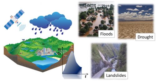
Rainfall estimation is highly important for meteorologists, hydrologists, water resource managers and environmental legislators. However, its measurement at relevant spatial and temporal scales remains a challenge. Soil moisture can be seen as the footprint of rainfall and, hence, is useful for improving rainfall estimation. As part of the SMOS+Rainfall project funded by the European Space Agency (ESA), the Research Institute for Hydrogeological Protection (Cnr-Irpi) in Perugia in collaboration with the University of Grenoble, the University of Toulouse and the CNRS, has developed new rainfall products that use satellite soil moisture data to obtain more accurate estimates.
The usefulness of these new products has been demonstrated in the recent study published in Scientific Reports where they are used for flood forecasting in European and African basins. In particular, it is clearly shown that the new rainfall products are better than products based on ground observations and models in Africa, where there are few measuring stations. The benefit of the soil moisture signal in precipitation estimation is particularly relevant for flood forecasting in semi-arid environments such as the Sahel, as it helps to improve accuracy in terms of spatial distribution and reduce the quantitative errors of classical rainfall products due to the convective nature of precipitation in this area.
Per informazioni:
Luca Brocca
Cnr-Irpi
luca.brocca@irpi.cnr.it
Immagini:

